Ahrefs Domain Rating set in type 16 Oct 2026, reset 7 Oct 2026.
GeoTag.world metrics
Set in type for geotag.world: Ahrefs Domain Rating and Majestic link data, with the change since the last edition.
Metric
Value
Domain Rating
5● no change since last check
Trust Flow
4● no change since last check
Citation Flow
28● no change since last check
Referring domains
86● no change since last check
External backlinks
148● no change since last check
Ahrefs Domain Rating set in type 16 Oct 2026, reset 7 Oct 2026. Lead topic: Business/Transportation and Logistics (3). Majestic set 7 Oct 2026, reset 7 Oct 2026. Link data typeset by Majestic. Trust Flow, Citation Flow and Topical Trust Flow are trademarks of Majestic-12 Ltd.
GeoTag.world domain colophon
From the registry's public RDAP record, checked 16 Oct 2026, 14:17 UTC.
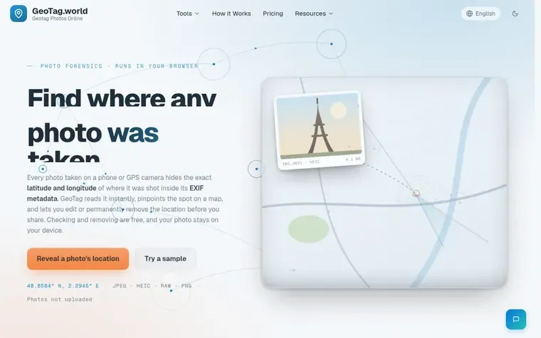
GeoTag.world is a free online GPS metadata tool that helps users find the exact location where a photo was taken by reading embedded EXIF data and displaying it on an interactive map. The tool allows users to extract GPS coordinates, view complete metadata including camera details and timestamps, edit location data, and permanently remove GPS information from photos.
All processing happens in your browser with no photo uploads to servers, ensuring complete privacy. The tool supports major image formats including JPEG, PNG, HEIC, WebP, and AVIF from iPhones, Android phones, DSLRs, and drones. Users can batch process multiple images at once and export results as CSV files. No account is required to view and remove GPS data; accounts are only needed for adding or editing GPS coordinates.
Typeset features
GPS coordinate extraction from photos
EXIF metadata viewer and editor
Remove GPS location from photos
Batch image processing
Interactive map location preview
CSV export of coordinates
Support for JPEG, PNG, HEIC, WebP, AVIF
Browser-based processing, no upload
Pricing
Pricing model: Freemium
Free: EXIF viewer, strip metadata, remove GPS. Paid plans from $4.99/month (Personal: 50 photos/month), $8.99/month (Pro: 300 photos/month), $14.99/month (Agency: unlimited photos/month). Pay-as-you-go: $0.15 per photo, or credit packs at $3.99 for 50 photos (one-time) or $9.99 for 200 photos (one-t
How can I find the location where a photo was taken?
Upload the photo to GeoTag.World. The tool reads the embedded GPS coordinates from the photo's EXIF metadata and pinpoints the exact location on an interactive map instantly, no software needed. If the photo has no GPS data, the location cannot be recovered.
Can someone find my location from a photo I sent them?
Yes, if you sent the original photo file. Every photo taken on a GPS-enabled smartphone contains hidden EXIF metadata with exact GPS coordinates. Anyone with the original file can extract this in seconds. To prevent this, always remove GPS data before sharing using GeoTag.World.
How do I remove GPS data from a photo before sharing it?
Upload your photo to GeoTag.World, open the metadata editing panel, clear the GPS latitude and longitude fields, and download the updated file. The process takes under 60 seconds and does not affect photo quality or resolution.
What image formats does GeoTag.World support?
GeoTag.World supports JPEG, JPG, PNG, WebP, AVIF, and HEIC/HEIF (iPhone). This covers all major formats from iPhones, Android phones, DSLRs, mirrorless cameras, and drones.
Is it safe to upload my photos?
Your photos never leave your device. GeoTag.world processes images entirely in your browser using client-side JavaScript. No files are uploaded to any server, no image data is stored or transmitted.
Leave a review for GeoTag.world
No review of GeoTag.world set in type yet. Set the first.

 Kaomojiya
 ScannerQR
 Tokitool
 Fortune Teller Online